Cartographic Rebels: The Underground Movement Redefining Britain's Cultural Terrain
In the shadow of Google's algorithmic omnipresence, a quiet revolution unfolds across Britain's streets, pubs, and forgotten corners. Armed with nothing more than chalk, smartphones, and an intimate knowledge of their localities, a growing collective of cultural cartographers is redrawing the nation's map—not as bureaucrats see it, but as communities live it.
The Unauthorised Atlas
These aren't your father's Ordnance Survey maps. From the tenement blocks of Glasgow to the waterways of Bristol, rogue geographers are producing hand-drawn chronicles that capture what official cartography systematically omits: the pub where Dylan Thomas allegedly vomited, the alleyway where suffragettes once gathered, the exact spot where a legendary underground gig transformed a generation.
In Manchester's Northern Quarter, artist collective "Invisible Cities" has spent three years documenting every venue that hosted punk performances between 1976 and 1982. Their hand-illustrated maps, distributed through independent record shops and community centres, reveal a sonic archaeology that challenges the sanitised narrative of urban regeneration.
"Official maps show buildings and roads," explains Sarah Chen, a community geographer from Hackney. "We map memories, relationships, and the spaces where culture actually happens. The corner shop that's been family-run for forty years matters more than the chain that replaced the old cinema."
Digital Dissidence
The movement extends far beyond analogue nostalgia. Sophisticated digital platforms now host crowd-sourced cartography projects that challenge the monopoly of commercial mapping services. "Folk Atlas," launched by a collective of folklore enthusiasts, allows users to pin exact locations where local legends originated, creating an alternative geography of Britain's mythological landscape.
In Bristol, the "River Stories" project uses augmented reality to overlay historical narratives onto contemporary streetscapes. Walking along the Avon with the app reveals ghostly outlines of demolished buildings, forgotten waterways, and the precise routes of long-lost tramlines. The technology transforms urban exploration into a form of temporal archaeology.
The Politics of Place
This cartographic insurgency carries profound political implications. By documenting spaces that gentrification threatens to erase, these alternative maps become acts of cultural preservation and resistance. When developers arrive with plans to transform working-class neighbourhoods into luxury developments, community-generated maps provide evidence of existing cultural infrastructure that planning committees rarely acknowledge.
In Tower Hamlets, local residents have created detailed maps documenting every family-run business, community garden, and informal gathering space. When presented to planning committees, these alternative geographies force officials to confront the human cost of urban transformation.
"Maps aren't neutral," argues Dr. James Morrison, a cultural geographer at Edinburgh University. "Every cartographic choice reflects power structures. When communities create their own maps, they're asserting their right to define their own identity and resist external narratives imposed by developers or algorithms."
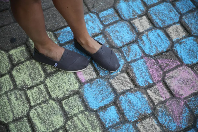
Chalk Lines and Memory
Perhaps nowhere is this movement more visceral than in the temporary chalk maps that appear overnight on pavements across British cities. These ephemeral cartographies mark protest routes, commemorate demolished buildings, or simply celebrate the ordinary spaces where extraordinary moments occurred.
In Liverpool, guerrilla cartographers regularly chalk the outlines of the Cavern Club's original location, now buried beneath modern development. These ghostly architectural drawings serve as both memorial and protest, reminding passersby of the cultural heritage that commercial interests have erased.
The transient nature of chalk makes these maps particularly powerful. Like the communities they represent, they're vulnerable to weather, authorities, and time—yet they persist through repetition and collective memory.
The Future of Folk Geography
As this movement gains momentum, it's reshaping how Britain understands its own cultural landscape. Museums are beginning to incorporate community-generated maps into exhibitions. Local councils increasingly consult alternative cartographies when making planning decisions. Even commercial mapping services are exploring ways to integrate user-generated cultural data.
Yet the movement's greatest achievement may be more fundamental: proving that geography isn't destiny, but choice. In an era when algorithms increasingly determine which places we discover and value, these cultural cartographers insist that communities themselves must define what matters.
From Glasgow's tenement storytellers to Cornwall's coastal chroniclers, Britain's rogue geographers are writing a new chapter in the nation's cultural history. Their maps may lack the precision of satellite imagery, but they possess something far more valuable: the authentic voice of place itself, speaking truth to power one chalk line at a time.
In redrawing Britain's cultural geography, these cartographic rebels aren't just creating alternative maps—they're asserting that culture, memory, and community deserve a place on any honest representation of the landscape we call home.